
Grade Level: Secondary (7-12) | VariQuest Tools: Perfecta 2400 | Academic Subject: Social Studies and History | Featured Topics: Lessons and Activities
In this lesson for grades 9-12, students will analyze the impact of physical and cultural geographies on China’s development.
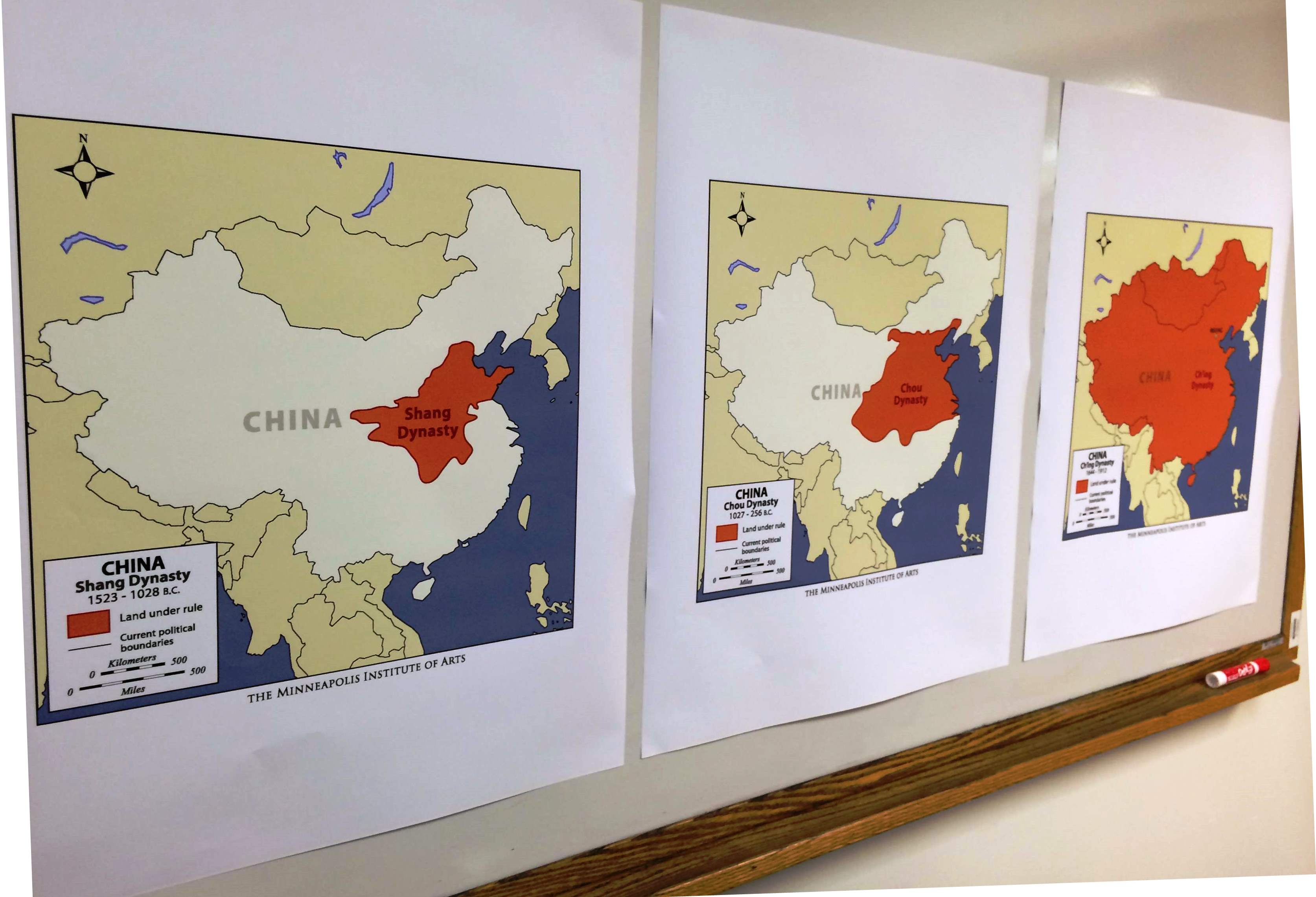
First, download the PDF for each of the Chinese Dynasty maps from the Minneapolis Institute of Art’s “The Art of Asia” website. Use the Perfecta Series Poster Design System to print each PDF at poster-size. Print multiple copies of a current map of China and surrounding countries for individual student use. Display the Chinese Dynasty map posters around the room for student exploration.
Next, pose the question to students: What relationships are there between the physical and cultural geographies of the Earth?
Have students conduct a gallery walk to explore the maps of Chinese dynasties from 1,500 BC to 1912. Students should record each dynasty and draw conclusions about the political power(s) of each dynasty by comparing the maps of China over the years.
Distribute individual copies of current maps of China to students. Assign each group one of the countries that borders China. Have students determine the type of political relationships China would have with that country based on the geographic features of China and the data they found on the maps the Chinese dynasties.
Have students specifically consider the following questions:
- Are there any land barriers, such as deserts or mountains, separating the two countries? What type of political relationships can you expect if it is easy to cross between the two countries? What about if it is difficult? Why?
- Do the countries share a body of water? How does this impact the relationship between the two countries?
To assess understanding, have each student write a paragraph that summarizes their claims about the geographical and political relationship between China and one of the surrounding countries. The paragraph should use evidence from the maps to support their claim.
 Julia Cremin is a 6th grade Reading, Language Arts and Math teacher at O'Keeffe Middle School in Madison, WI. She is certified in Elementary Education (grades 1-9) with a minor in Mathematics. This is her fourth year teaching middle school.